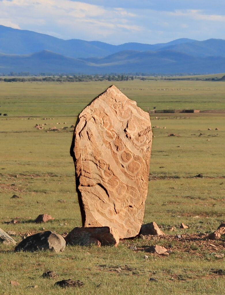
Tracing the Rice of Nomadic Empires Across Eurasia
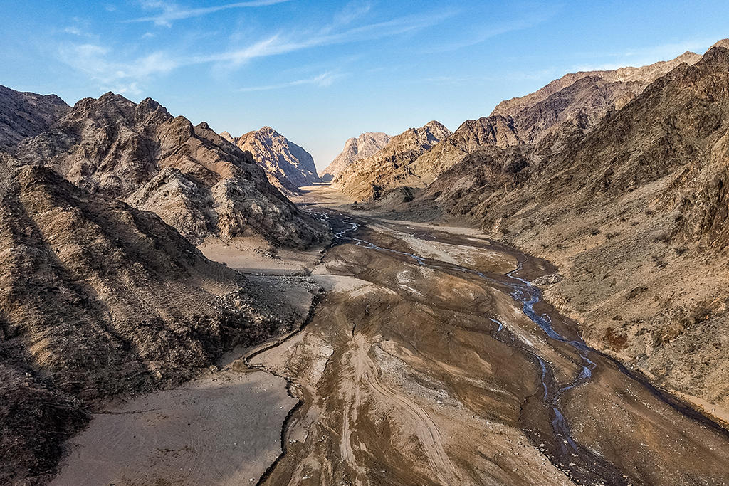
DALAN KHAR (YINSHAN) MOUNTAINS
Known in Mongolian tradition as “Dalan Khar” — the long, dark mountains — the Yinshan range forms a continuous ridge along the northern frontier of the Yellow River bend.
Rather than a fixed barrier, this mountain system acted as a natural spine between the steppe and the agrarian world. For nomadic societies, it offered mobility, shelter, and strategic advantage; for settled states, it marked the threshold of the unknown north.
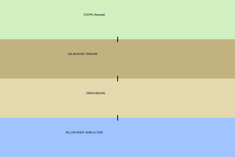
THE ORDOS–YINSHAN FRONTIER SYSTEM
The frontier between the steppe and early Chinese states was not defined by a single barrier, but by a system of interacting landscapes. The Yinshan (Dalan Khar) mountains formed a rugged spine, the Ordos region acted as a transitional zone, and the great bend of the Yellow River provided both life and defense.
Together, these elements created a dynamic frontier — one that did not stop movement, but directed it through narrow corridors. Control of these routes defined the balance of power between nomadic and sedentary worlds.