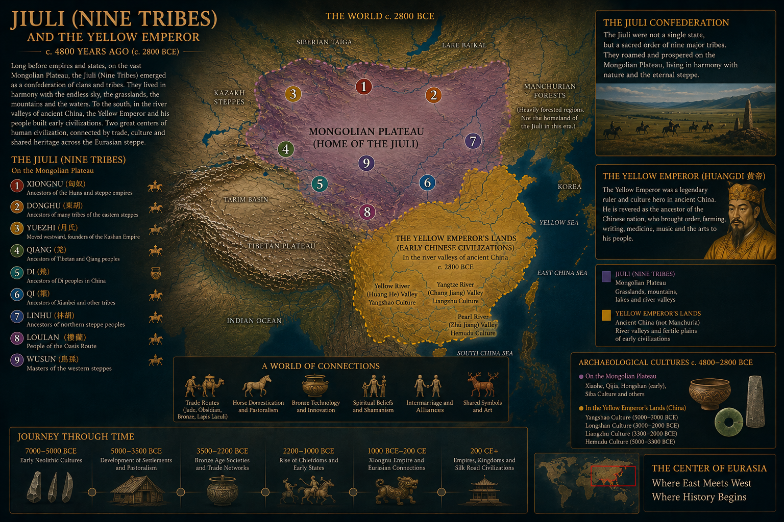
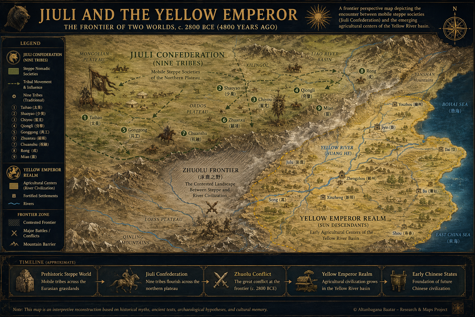
CHI YOU — LORD OF WAR AND THE NINE TRIBES
Chi You was one of the most legendary warrior leaders of ancient East Asia and is remembered in early Chinese tradition as the great rival of the Yellow Emperor during the age of mythical tribal confederations.
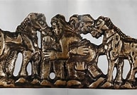
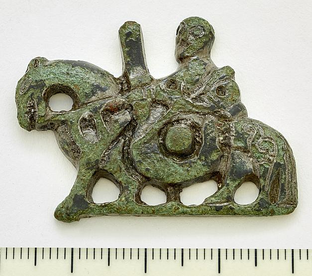
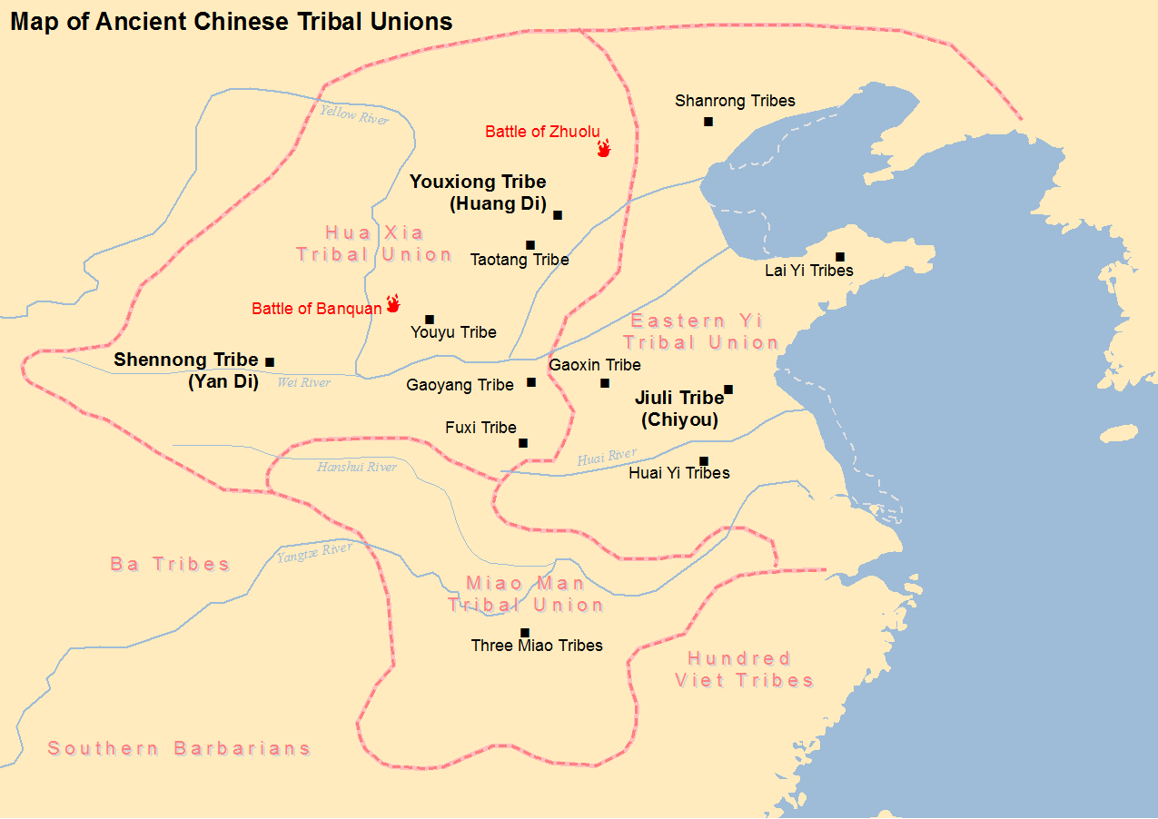
According to ancient records and later legends, Chi You led a powerful federation often associated with the Jiuli tribes. He was described as a master of warfare, metallurgy, and military organization, commanding fierce armies across the northern plains.
Many traditions portray Chi You with bronze weapons, terrifying armor, and supernatural strength. In some legends, he created fog and storms upon the battlefield, turning war into chaos and confusion.
The struggle between Chi You and the Yellow Emperor became one of the foundational conflict narratives of early Chinese civilization. Though defeated at the Battle of Zhuolu, Chi You continued to be revered among various northern and southern peoples as a heroic ancestral figure.
Modern historians regard these accounts as a mixture of mythology, tribal memory, and early political symbolism rather than strictly verifiable history. Nevertheless, Chi You remains one of the most enduring warrior figures of ancient East Asian tradition.
LEGACY
• Symbol of martial power and resistance
• Associated with the Jiuli tribal confederation
• Revered in later folklore and ritual traditions
• Central figure in the legendary Battle of Zhuolu